We invite experienced experts and encourage young and dynamic professionals to join and build careers with GeoViet...
New Opening: Interested candidates, please contact us for details - Image 01
GEOVIET CONSULTING
...Interdisciplinary approach &
exploring geospatial information - Image 02
GEOVIET SERVICES - - NRE Consulting
- - Geospatial Data Service
- - Geo-Informatics Service
- - Geo-Marketing
- - Development Research
- - Education & Training...
- Image 03Image 03
Consultancy on Natural Resources,
Environment and Climate Change - Image 04
GEOVIET CONSULTING
...Design, build & provide high-
standard geospatial databases - Image 05
URBAN INFORMATION
SYSTEM ...Spatial Information & spatial
knowledge for decision making - Image 06
GEOVIET CONSULTING ...Professional Geo-Informatics
Solution provider on Desktop or on the Web - Image 07
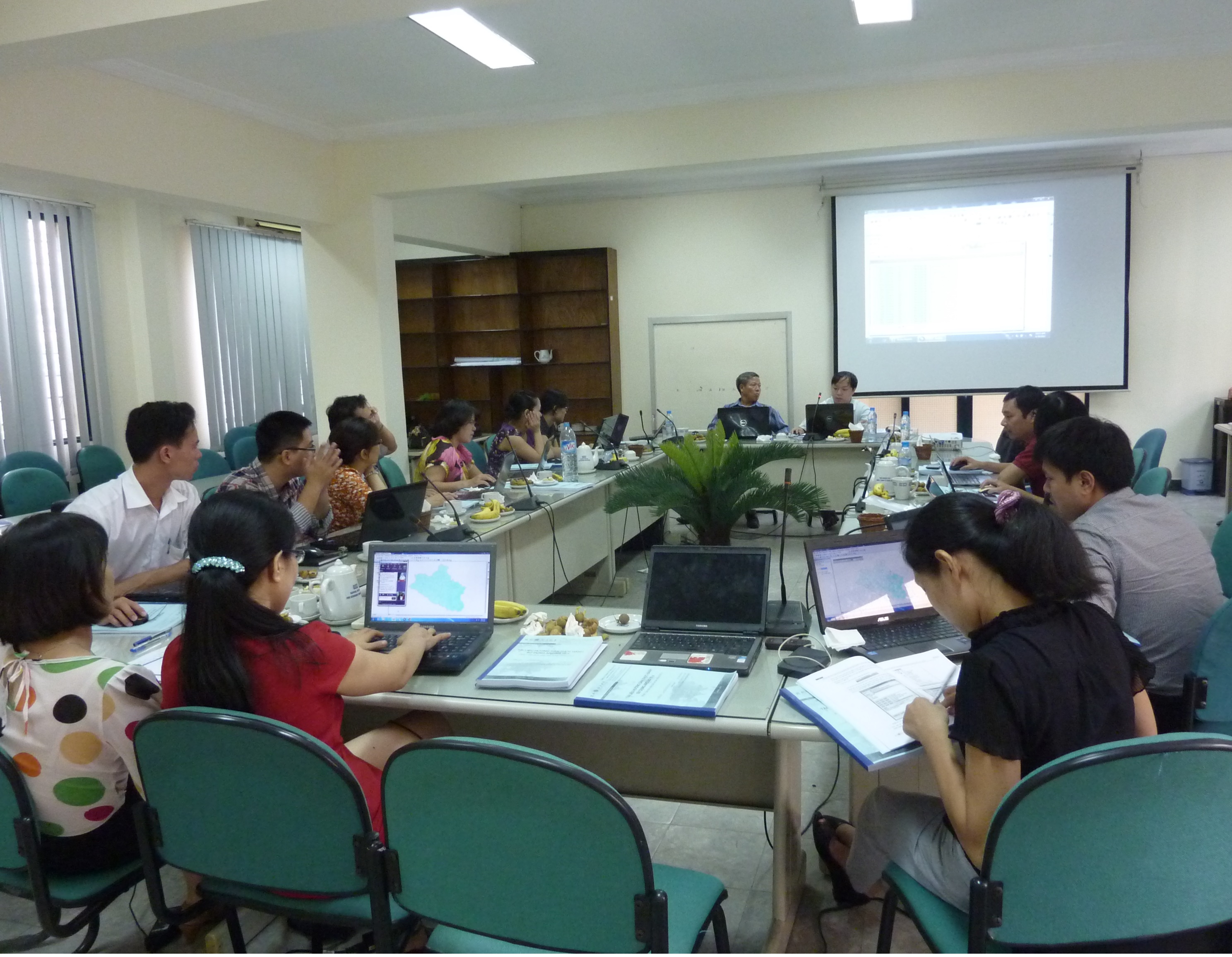
EDUCATION & TRAINING ...Combining concept knowledge with practical professional skills GIS - Remote Sensing - Geo-Informatics - Data Processing and Analysis Management Support - Image 08
GeoCoding Routing Thematic Map API Welcome to GeoViet Consulting Website!
Established in response to the growing needs in information, knowledge and skills associated with the rapid development in Vietnam and the region, GeoViet Consulting provides services in research, consultancy and training in the areas of geospatial information technologies, urban / regional and environmental studies, natural resources planning as well as in management support of projects and business analytics. In the area of geospatial services, GeoViet provides your organization with integrated data solutions in mapping, imaging, geospatial information and property information ranging from system analysis and design through to full implementation... More about GeoViet >>
 |
Combining consulting services with in-house research efforts, GeoViet Consulting provides quality products and practical geospatial solutions based on emerging creative ideas:
|  |
Focusing on research and analysis of geospatial information based on GIS, remote sensing and Geo-Informatics technologies, GeoViet Consulting provides your organizations with customized services in:
| | |
 |
In cooperation with international and local educational institutions, GeoViet Consulting provides training services based on a well-thought combination of applied concepts, experienced approaches and practical skills training:
|  |
GeoViet Consulting is sharing updated geo-technology news, trends and practical applications in Vietnam in forms of QUARTERLY GEO-TECHNOLOGY BULLETINS with detailed articles in TECH CORNER in the areas of:
| | |
From February to June 2024, senior experts from GeoViet Consulting tought the course of “Fundamentals of Urban GIS” for under-graduate students (QD 26 class) of the Architecture Faculty, Hanoi University of Business and Technology. This course is to provide Urban and Infratructure Management students of the GIS basic concepts and practical knowledge, and relevant methodology and techniques in urban data collection, processing and GIS database management and analysis for urban planning and management applications. Please contact us for more information...
In January 2024, GeoViet Consulting had completed and successfully transferred the upgraded digital mapped database of the GCF-project “Improving the resilience of vulnerable coastal communities to climate change related impacts in Viet Nam” to UNDP Vietnam for information management and dissemination of Components’ achievements. The upgraded WebGIS system in operation online provides users with a project outcomes dashboard as well as useful tools to manage and exploit information of newly built storm-resilient houses, mangrove afforestation and livelihood support as well as CBDRM trainings in 7 project provinces (including Nam Dinh, Thanh Hoa, Quang Binh, Thua Thien – Hue, Quang Nam, Quang Ngai and Ca Mau) on interactive maps… Please contact us for more information...
 Since January 2024, GeoViet Consulting provides geomarketing (location) analysis service in support of the Everpia JSC’s comprehensive assessment of the retail network of Everon bedding products in 28 Northern provinces (of Vietnam). The GIS-based geomarketing research is focusing on analyzing the performances of current Everon stores/showrooms against market potentials by demographically and geographically segmented sub-markets with deliverables including a consolidated report, analytical maps and graphs and recommendations for market development… Please contact us for more information... Since January 2024, GeoViet Consulting provides geomarketing (location) analysis service in support of the Everpia JSC’s comprehensive assessment of the retail network of Everon bedding products in 28 Northern provinces (of Vietnam). The GIS-based geomarketing research is focusing on analyzing the performances of current Everon stores/showrooms against market potentials by demographically and geographically segmented sub-markets with deliverables including a consolidated report, analytical maps and graphs and recommendations for market development… Please contact us for more information...
Since November 2023, GeoViet Consulting is associating with the Center for Environmental Fluid Dynamics (CEFD) to support Phu Yen Environment Protection Agency in implementing the consulting task “Survey, investigation and determine the flood warning levels for Phu Yen rivers”. The main responsibilities of GeoViet Consulting include collecting, processing, standardizing mapped database and building flood maps and flood risks maps for various scenarios and flood warning levels at various Phu Yen rivers in accordance with existing standards and regulations... Please contact us for more information...
Since September 2023, GeoViet Consulting supports UNDP Vietnam upgrading the digital mapped database of the GCF-project “Improving the resilience of vulnerable coastal communities to climate change related impacts in Viet Nam”. The WebGIS system with a project outcomes dashboard is to manage and disseminate information of newly built storm-resilient houses, mangrove afforestation and livelihood support as well as CBDRM trainings in 7 project provinces (including Nam Dinh, Thanh Hoa, Quang Binh, Thua Thien – Hue, Quang Nam, Quang Ngai and Ca Mau) on interactive maps. Please contact us for more information...
|